
Organizer: Center for Southeast Asian Studies, Northern Illinois University (NIU)
Type/Location: Hybrid / DeKalb, IL
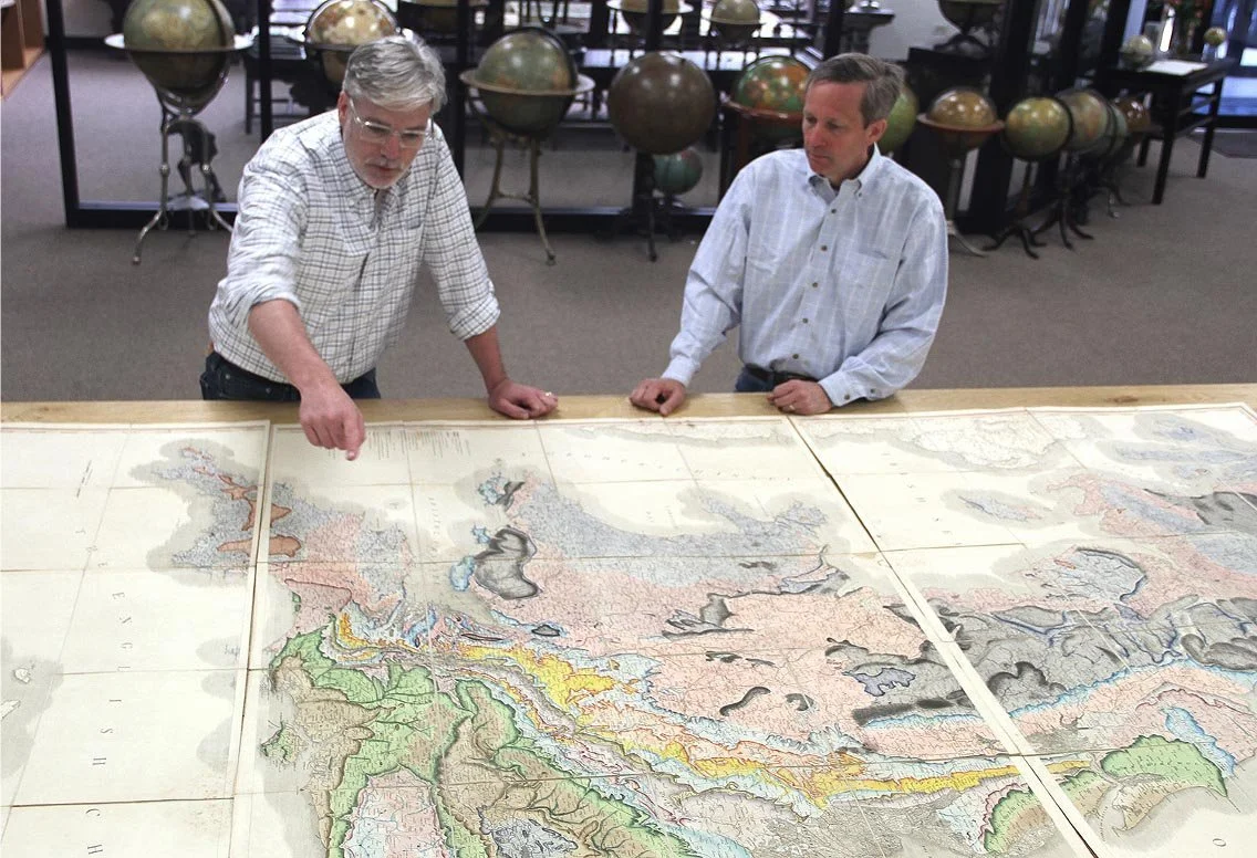
Dr. John Mackey and Dr. Richard Pegg at the MacLean Collection
Description:
Join the Center for Southeast Asian Studies at Northern Illinois University (NIU) for a talk by Richard Pegg, Director and Curator of Asian Art at the MacLean Collection. In this talk, Dr. Pegg will examine maps created during the 17th to 19th centuries in order to better understand complex trade systems in today’s East and South China Seas, such as: the red-seal, Manila, Siam, Fujian, Zheng family, silver-silk, rice-silk, tribute, Muslim, Portuguese, British and Dutch systems.
This event is co-sponsored by the Center for Burma Studies, the School of Art and Design, the Art Museum, and the Department of History at NIU.
About the Speaker:
Richard Pegg – Director and Curator of Asian Art, MacLean Collection
Registration:
To attend the event in person, please register here.
To attend the event virtually, please register here.